Skip to content
Travessa da Judiaria

Travessa da Judiaria

"Short lane in Santarém preserving part of the medieval judiaria’s street grid, tied to the former Rua Nova da Judiaria."

Back to Map

Travessa da Judiaria is a short lane in the historic center of Santarém whose name preserves the exact footprint of the city’s medieval Jewish quarter. In late medieval documentation, this axis appears as the Rua Nova da Judiaria (“New Street of the Jewish Quarter”), and scholarly urban-history work identifies today’s Travessa da Judiaria and the nearby Rua Maestro Luís da Silveira as the main surviving alignments of the 15th-century Jewish quarter’s internal street structure.

As a street, the Travessa is valuable precisely because it is not an abstract “memory of Jews,” it is a retained piece of the medieval urban grid. Research on Santarém’s urban evolution links this micro-topography to regulatory mechanisms typical of Portuguese towns, in which Jewish residence was concentrated and movement could be controlled through narrow passages, bounded circulation, and the management of access routes. In this reading, the Travessa reflects a lived urban environment of dense housing and constrained space, rather than a symbolic label applied later.

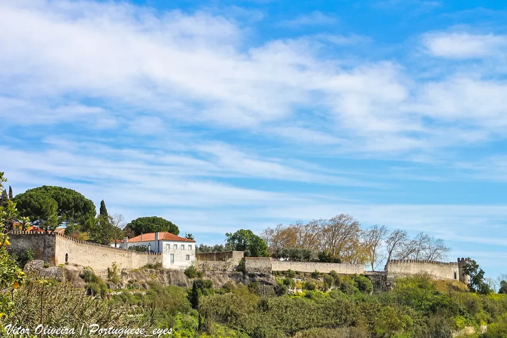
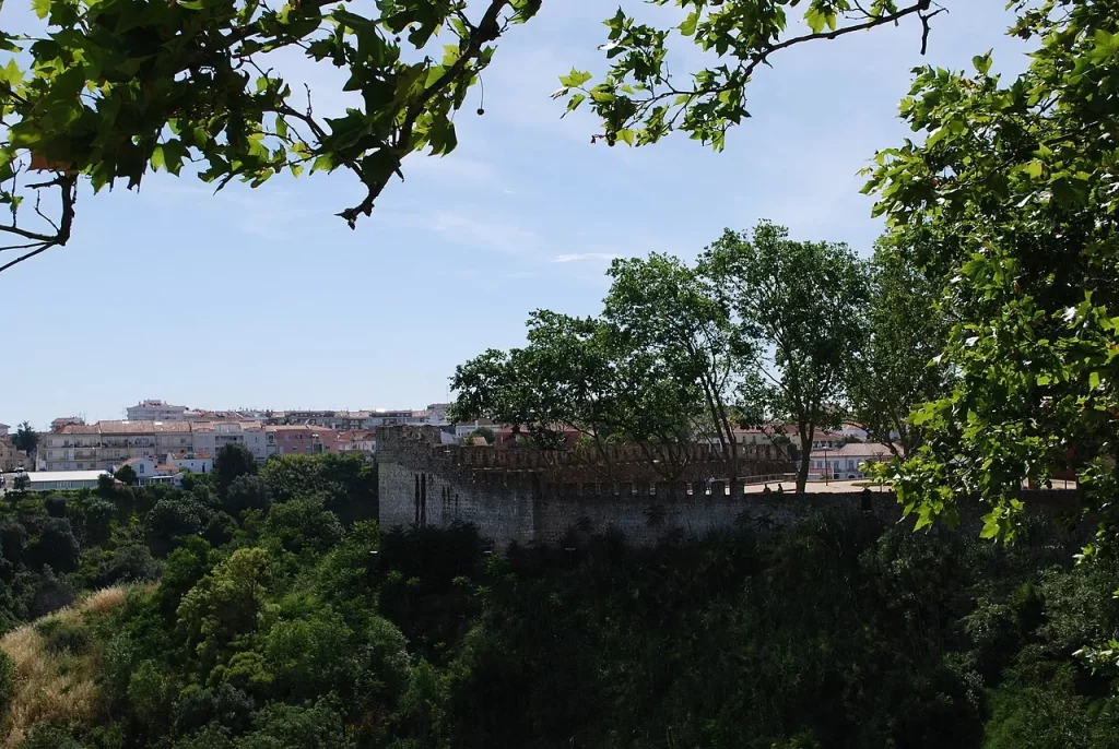
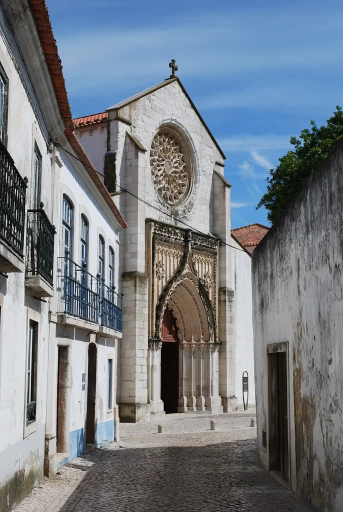
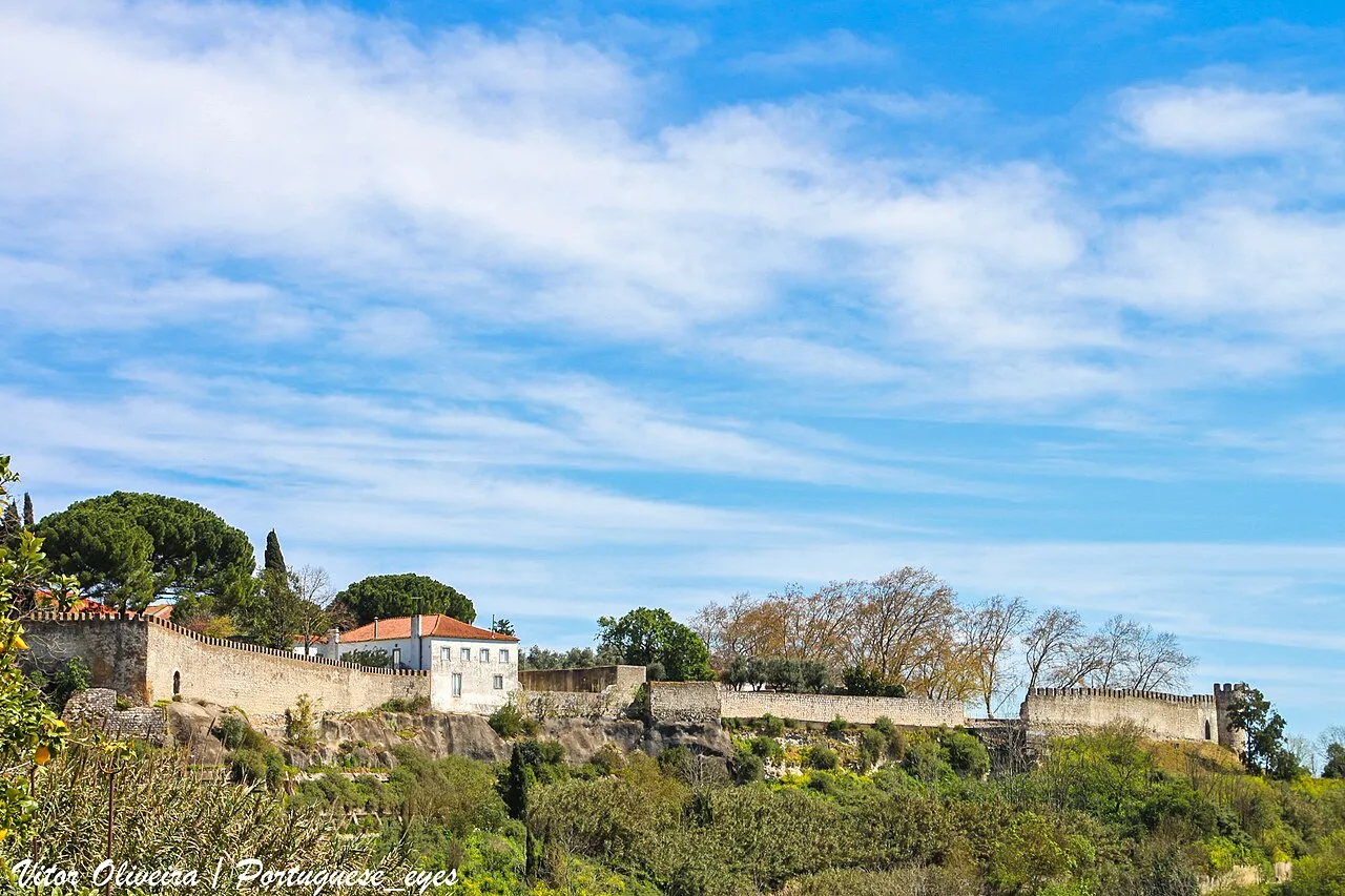
The street’s position also anchors it physically within the fortified city. A pedestrian itinerary for Santarém’s historic center places the descent into Travessa da Judiaria from Avenida 5 de Outubro and notes that, at its end, one can still observe to the left an old bastion of the city wall, before continuing along the side of the Igreja da Graça. This situates the Travessa on the edge between residential lanes and the defensive architecture of the upper town, a typical setting for late medieval quarters shaped by walls, gates, and internal boundaries.

In present-day administrative geography, Travessa da Judiaria lies in the parish of Marvila (Santarém) and is associated with the postal code 2000-123, with publicly listed coordinates for the street.

Gallery
Article researched and curated by Jew Where.

The Jew Where project is collaborative. Do you have additional information, found an inaccuracy, or have historical photos of this location? Contact our team.
Travessa da Judiaria
Portugal / Santarem / Neighborhoods & Settlements

Travessa da Judiaria

"Short lane in Santarém preserving part of the medieval judiaria’s street grid, tied to the former Rua Nova da Judiaria."

Location
Travessa da Judiaria, Santarém, Portugal

Travessa da Judiaria is a short lane in the historic center of Santarém whose name preserves the exact footprint of the city’s medieval Jewish quarter. In late medieval documentation, this axis appears as the Rua Nova da Judiaria (“New Street of the Jewish Quarter”), and scholarly urban-history work identifies today’s Travessa da Judiaria and the nearby Rua Maestro Luís da Silveira as the main surviving alignments of the 15th-century Jewish quarter’s internal street structure.

As a street, the Travessa is valuable precisely because it is not an abstract “memory of Jews,” it is a retained piece of the medieval urban grid. Research on Santarém’s urban evolution links this micro-topography to regulatory mechanisms typical of Portuguese towns, in which Jewish residence was concentrated and movement could be controlled through narrow passages, bounded circulation, and the management of access routes. In this reading, the Travessa reflects a lived urban environment of dense housing and constrained space, rather than a symbolic label applied later.

The street’s position also anchors it physically within the fortified city. A pedestrian itinerary for Santarém’s historic center places the descent into Travessa da Judiaria from Avenida 5 de Outubro and notes that, at its end, one can still observe to the left an old bastion of the city wall, before continuing along the side of the Igreja da Graça. This situates the Travessa on the edge between residential lanes and the defensive architecture of the upper town, a typical setting for late medieval quarters shaped by walls, gates, and internal boundaries.

In present-day administrative geography, Travessa da Judiaria lies in the parish of Marvila (Santarém) and is associated with the postal code 2000-123, with publicly listed coordinates for the street.

Timeline

  • Late 14th century Increasing demographic pressure and dense building inside the judiaria help explain the creation and later transformation of narrow internal circulation spaces.
  • 15th century The main axes of the Jewish quarter corresponded to today’s Rua Maestro Luís da Silveira and Travessa da Judiaria, including the former Rua Nova da Judiaria.
  • Present Travessa da Judiaria survives in the historic center, and municipal heritage descriptions still preserve it as the inherited toponym of the former judiaria.

Sources & Bibliography

  1. SANTOS, Helena; LIBERATO, Marco; PRÓSPERO, Ricardo. Alterações urbanísticas na Santarém pós-medieval. A diacronia do abandono de uma rua no planalto de Marvila. Local: Lisboa. Editora: Centro de História de Além-Mar. Ano: 2013. https://livros.fcsh.unl.pt/cham/catalog/download/96/336/1338?inline=1
  2. DIREÇÃO-GERAL DO PATRIMÓNIO CULTURAL. Núcleo urbano da cidade de Santarém / Centro histórico de Santarém. Local: n.d. Editora: Sistema de Informação para o Património Arquitectónico. Ano: n.d. https://www.monumentos.gov.pt/Site/APP_PagesUser/SIPA.aspx?id=24725
  3. MUNICÍPIO DE SANTARÉM. PP4 - Portas do Sol. Local: Santarém. Editora: Município de Santarém. Ano: n.d. https://www.cm-santarem.pt/servicos-municipais/cultura-turismo/turismo/item/1795-portas-do-sol

Article researched and curated by Jew Where.

The Jew Where project is collaborative. Do you have additional information, found an inaccuracy, or have historical photos of this location? Contact our team.